Edge computer vision processing satellite imagery in real-time
Processing satellite imagery at the tactical edge without sending it to the cloud is one of the hardest computer vision problems in defence AI. Here's how INUKSHUK does it.

The bandwidth problem nobody talks about.
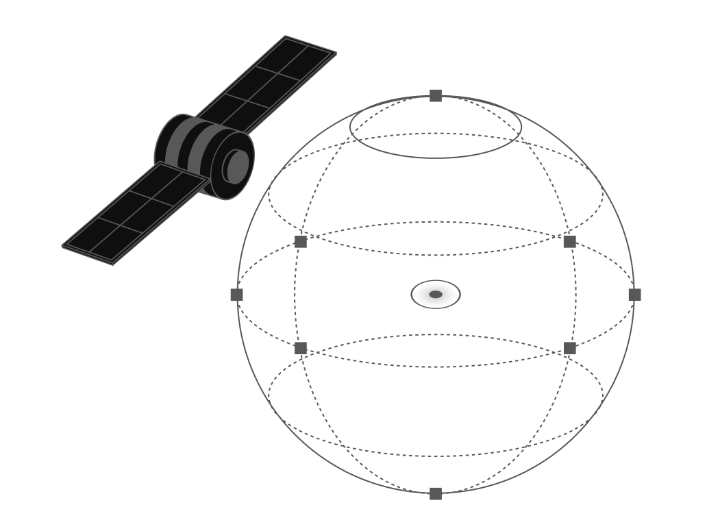
Satellite imagery is one of the highest-value intelligence inputs available to a modern military. A single pass from a medium-resolution reconnaissance satellite over an area of interest can generate gigabytes of imagery data. At tactical edge sites with constrained communications bandwidth, which describes the majority of forward operating environments — transmitting that data to a cloud processing centre for analysis is not a viable option.
The latency alone disqualifies it. By the time raw imagery has been transmitted, processed in a cloud environment, and returned as an analytical product, the operational situation it described may have changed materially. In time-sensitive targeting, force protection, and border surveillance applications, that latency is operationally unacceptable.
The solution is edge processing, running the computer vision pipeline on the same hardware that receives the imagery, producing an analytical product locally without a cloud round-trip. This is architecturally straightforward to describe and technically demanding to execute within the power and compute constraints of tactical hardware.
What edge computer vision actually requires.
Running a capable computer vision pipeline on tactical edge hardware requires solving three problems simultaneously. The models must be small enough to run within the memory constraints of the hardware. They must be fast enough to process imagery at the rate it arrives without creating a processing backlog. And they must be accurate enough that the resulting analytical products are operationally useful, which means handling the noise, resolution variations, and atmospheric effects that affect real-world satellite imagery.
INUKSHUK's computer vision module addresses all three through a combination of model architecture choices and hardware-specific optimisation. Models are quantised and pruned for edge execution without material accuracy degradation. The inference pipeline is optimised for the NVIDIA Jetson Orin's tensor cores. And the training data includes the full range of imagery conditions encountered in Canadian operational environments, Arctic, maritime, boreal, and urban.

Integration with the fusion pipeline.
The output of INUKSHUK's computer vision module detected entities, their classifications, their coordinates, and the confidence levels attached to each detection flows directly into the fusion pipeline alongside RF, acoustic, and ground sensor inputs. Entities detected in satellite imagery are correlated with entities detected by other sensors, building a persistent track that grows more confident with each additional detection across modalities.
“The goal is not to run a cloud computer vision model on edge hardware. The goal is to build a computer vision capability that was designed for edge hardware from the first training run..”
This is the multi-modal advantage that single-source imagery analysis cannot provide. A vessel detected in satellite imagery with 70% confidence that is also detected on AIS and acoustic sensors becomes a high-confidence persistent track. The fusion of imperfect signals produces operationally reliable intelligence.
The Arctic imagery challenge.
Canadian Arctic terrain presents specific challenges for satellite imagery computer vision that temperate-environment models do not handle well. Snow and ice coverage dramatically reduces the visual contrast that object detection models rely on. Permafrost patterns create false positive signatures that models trained on temperate imagery misclassify. And the low sun angles characteristic of Arctic latitudes produce shadow patterns that degrade detection confidence.
INUKSHUK's computer vision module includes Arctic-optimised model variants trained specifically on high-latitude imagery conditions. This is not a general-purpose model with Arctic fine-tuning, it is a capability built for the operational environment where Canada's sovereignty challenges are most acute.